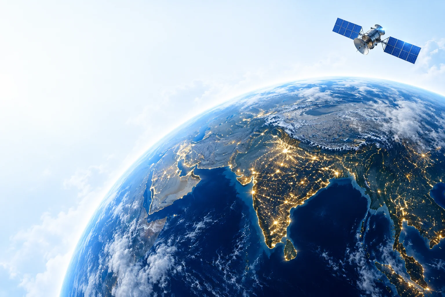
A satellite image is only the beginning. The interesting part is turning pixels into something useful on the ground. 🌏
I’m exploring a flood-mapping workflow using open radar data. How would you validate a model when cloud cover makes optical imagery unreliable? Would love to compare notes with others working on this.
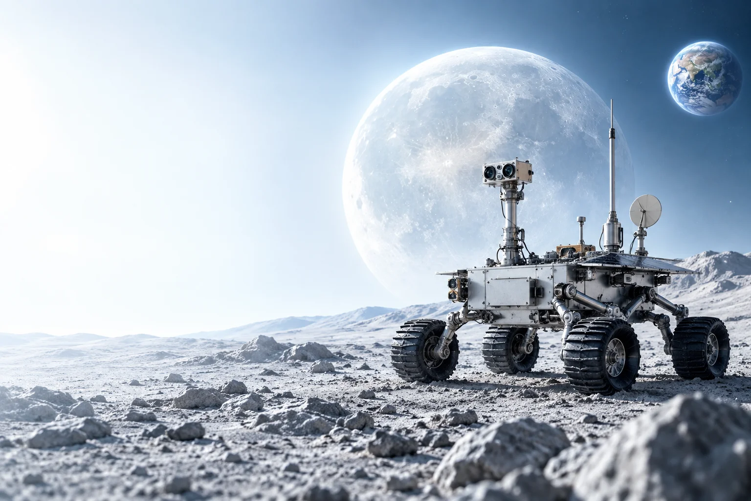
Small rover. A lot of learning.
This week’s idea: a navigation stack that keeps going when GPS isn’t an option. Starting with visual odometry and a very patient test plan. The image is the kind of mission that keeps me motivated.
Builders: what would you prototype first — perception, localization, or control?
A question for students and first-time founders: what is the biggest barrier between your space idea and your first prototype?
Access to a lab? A mentor? The right dataset? Or simply finding people to build with?
I’d love to hear the small changes that could make a real difference. Let’s make this a practical conversation.
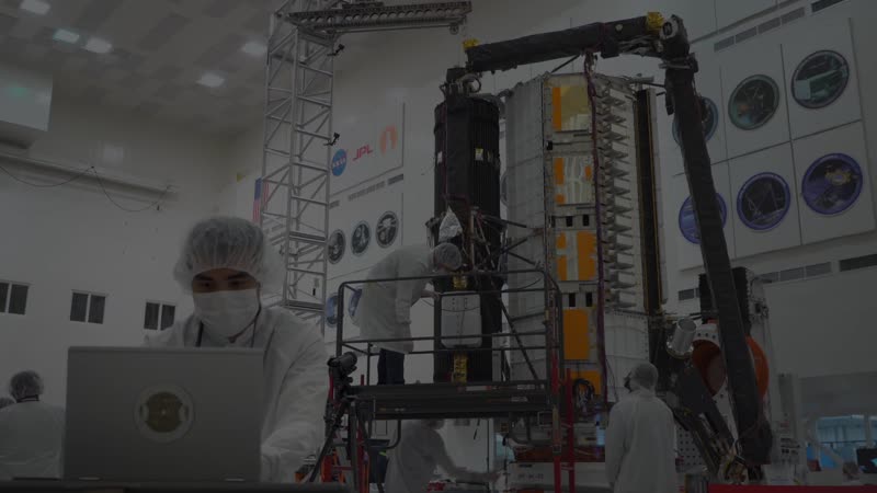
The best engineering reviews start with a good question. 🛰️
Putting together a small reading group around CubeSat power budgets and attitude control. If you’re learning satellite systems, what topic should we unpack together first?
Sharing some mission inspiration while we sketch the next steps.